ECHYZON: A tool integrating soil-plant-atmosphere components for ecohydrological zoning based on remote sensing and cloud computing.
Ecohydrological zoning is a key element in sustainable forest management and planning. The European Green Deal proposes a new strategy to protect and restore the European Union’s forests, with the priority objective of planting 3 billion trees by 2030.
This will promote a multitude of reforestation projects in this decade with different species that will spread across different climates. Mediterranean areas and especially those with a semi-arid climate will face the greatest challenges, as they are severely exposed to adverse climatic conditions.
Furthermore, these areas do not have a primarily productive vocation, but rather a protective one, which is why a combination of different species is normally used in reforestation.
This means that the selection of species for each site is essential to ensure the survival of the reforestation. However, this selection is often done by traditional methodologies developed in previous socio-ecological contexts from the last century, that do not consider new satellite information and databases. Reforestation success is to a great extent due to optimal ecological zoning and site-species matching.
To avoid the failure of future reforestation efforts, a decision support tool has been developed on the Google Earth Engine (GEE) platform that allows managers to accurately zone the area to be reforested based on the water which is in the system (soil, plant, atmosphere).
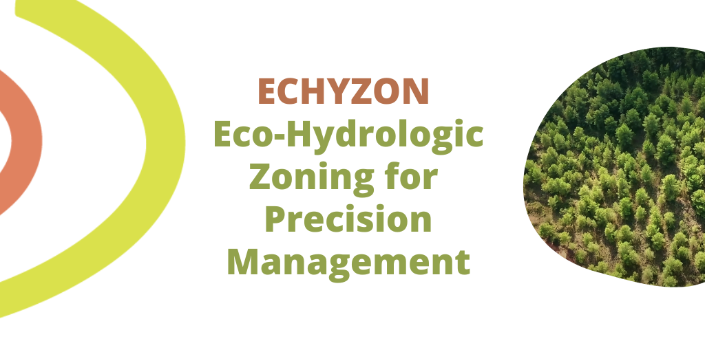
This tool is called ECHYZON (Eco-hydrological zoning for Precision Forestry) and what it does is to calculate the TVMDI (Temperature-Vegetation-Moisture Drought Index) with Landsat 8 satellite images to see the water content in each pixel of the study area. This allows the user to subsequently divide the project area into a certain number of categories or classes and to be able to match the forest species to be used in reforestation according to their water needs.
In this way, it is possible to identify different potentialities for areas having different drought index and hence designing patchy landscapes in the reforestation program (from no-planting to more complex designs in areas with a higher water content that would allow for more water- demanding species or mixtures to be planted).
The purpose of the development of this tool is to create an initial module for zoning and species matching in the reforestation (productive or protective) that will later be used to quantify and optimise the ecosystem services derived from forest management, using the CAFE (Carbon, Aqua, Fire and Eco-Resilience) tool developed in the LIFE RESILIENT FOREST project.
AVAILABLE HERE
AUTHORS: Javier Pérez-Romero, Antonio D. Del Campo García, María González-Sanchis, Laura Blanco Cano, Antonio Molina Herrera, Universitat Politécnica de Valencia (UPV), Valencia, Spain